Clapp School – Woburn, MA
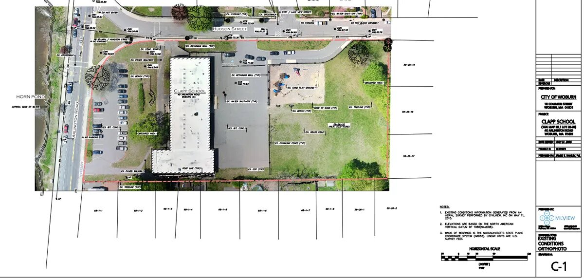
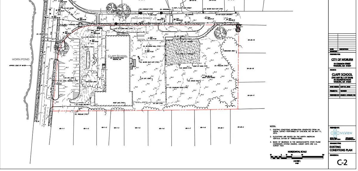
Drone aerial survey for an existing conditions plan and GIS integration.


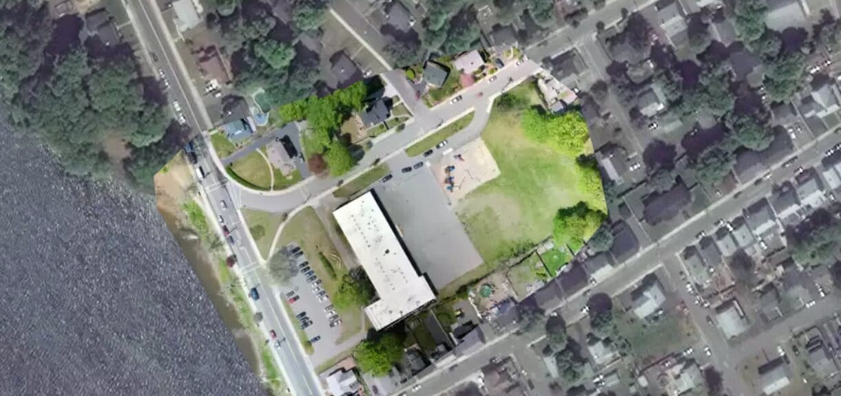
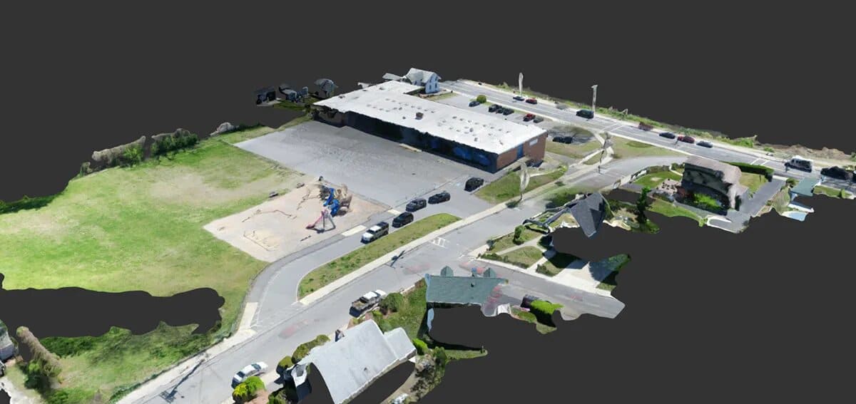
The City of Woburn has a long standing relationship with municipal GIS provider PeopleGIS and when PeopleGIS gave CivilView a call about giving a drone survey demo…we jumped at the opportunity. To make things even better, the City had the perfect site for the occasion. The 3+-acre site of the Clapp School is scheduled for an overhaul and a land survey was imminent to facilitate a design. Enter CivilView’s UAV capabilities! In about 45 minutes of onsite and aerial survey time, we collected the data necessary to produce a high resolution orthophoto, existing conditions plan, and GIS data necessary integrate into the City’s PeopleGIS system.
