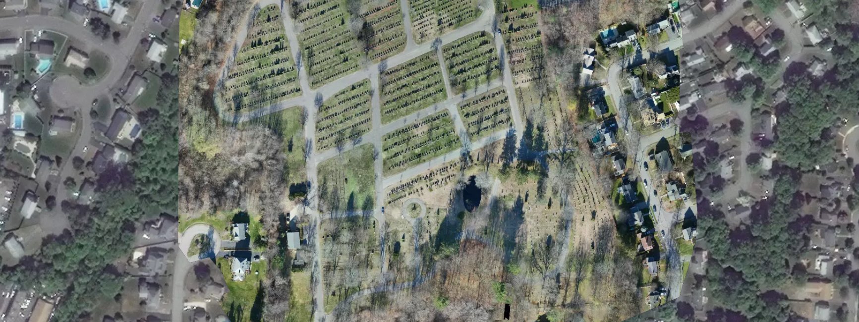
Forest Glade Cemetery – Wakefield, MA
Drone survey for site features, topography, and 3D visualization.

One of the biggest advantages of CivilView’s aerial imaging is the ability to create orthomosaics with unmatched resolution. Such a crisp image paints a clear picture of what is on the planning and inventory operations. For Forest Glade Cemetery, the orthomosaic was just a piece of a larger asset management project which included the creation of a GIS database of all gravesites. To directly integrate into the process, we used our in house GPS equipment to set ground control and generated a fully georeferenced orthomosaic. The data collection flights of the 30+ acres took several hours and the orthomosaic was delivered days afterwards.
