Mt. Higby Dam – Middletown, CT
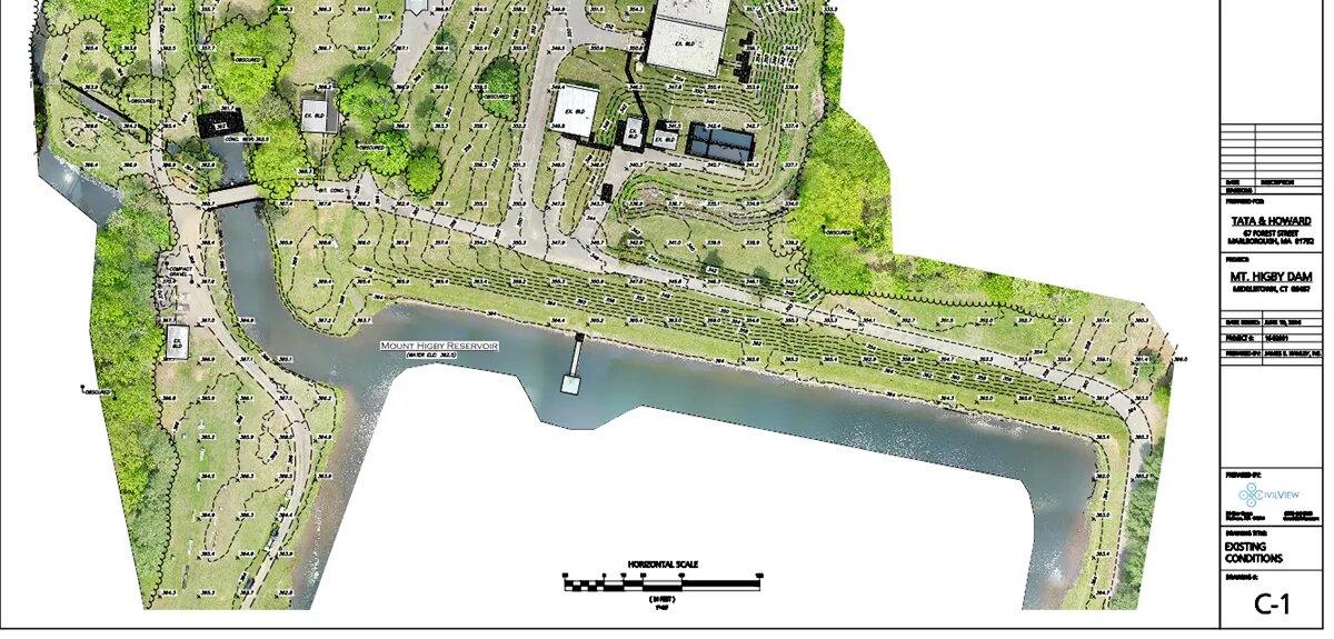
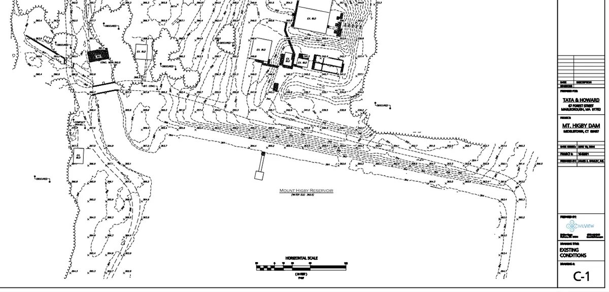
Drone survey to create a site features and topographic plan.


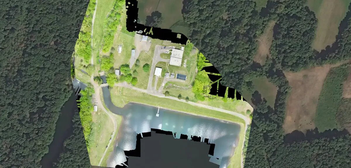
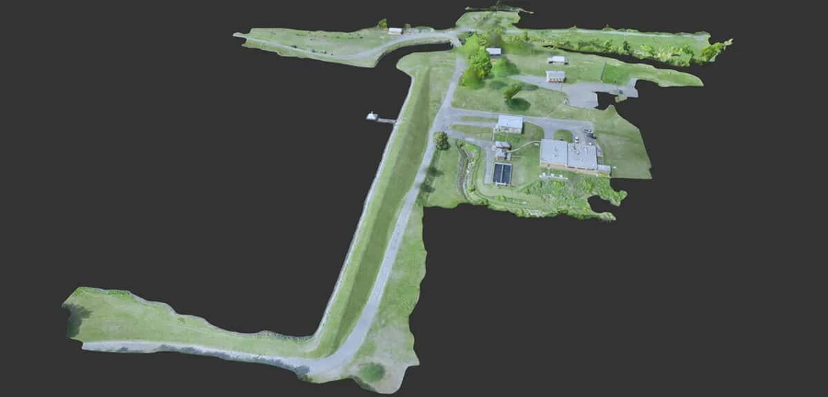
With an aerial survey area of over 25-acres, the Mt. Higby Dam project was not only larger than the nearby Adder Dam, but also featured a more extensive network of roadway and structures. To effectively capture the entire site, we performed several flights with multiple sets of ground control points and merged the data during processing. This type of flight planning allows for maximum accuracy and the best quality drone imagery. The dam and structures created an impressive looking plan in both two and three dimensions.
