Belcher Street Landfill – Plainville, MA
Drone survey to create a site features and topographic plan.


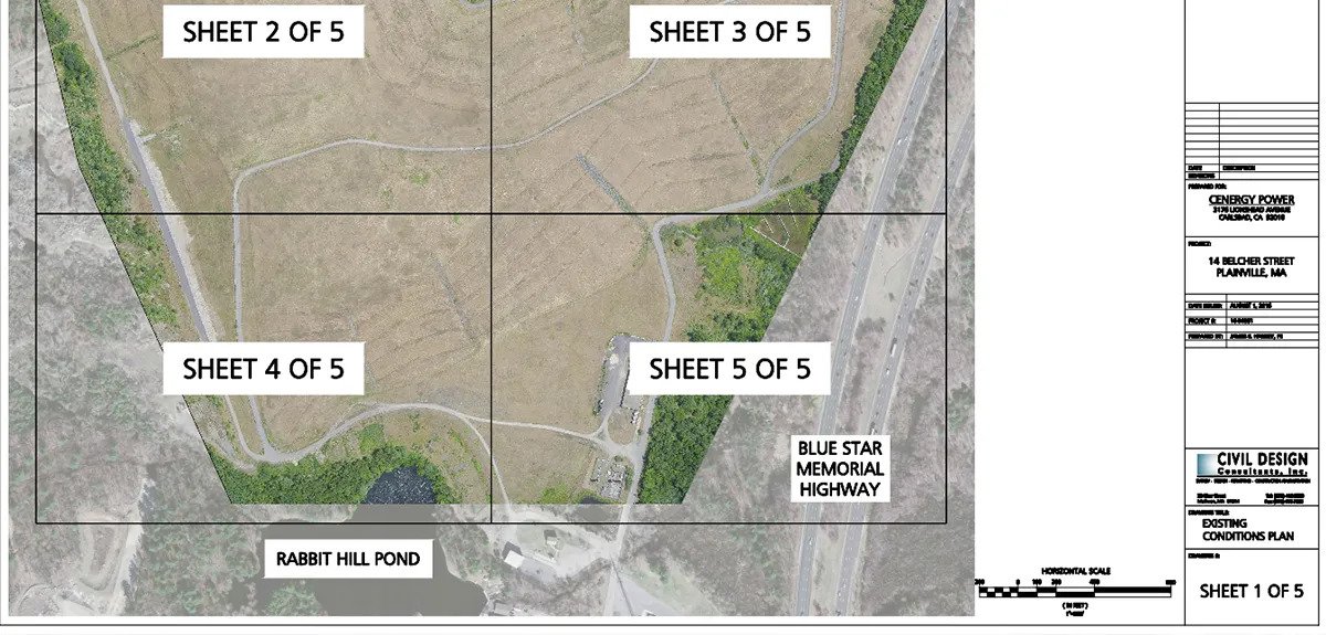
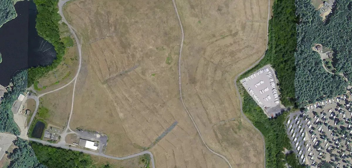
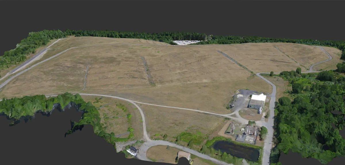
Capped landfills can be perfect locations for renewable energy projects. Large in size and with minimal tree cover , the sites give solar companies the opportunity to install large fields of solar panels and maximize energy production. Clear and large are two qualities that make for an ideal drone survey project as well. With over 100-acres of survey area and nearly 150-ft of grade change within the project limits, the only cost effective way to gather topographic data on a site like this is with a drone. In one day of flight, hundreds of pictures were collected and used to create full existing conditions plans. Speedy data collection lends itself to starting the design effort as soon as possible. Ongoing aerial imaging efforts provide the ability to monitor the landfill for topographic changes from settlement.
