
Marshall Road (Route 107) – Kingston, NH
Drone survey for site features, topography, and 3D visualization.
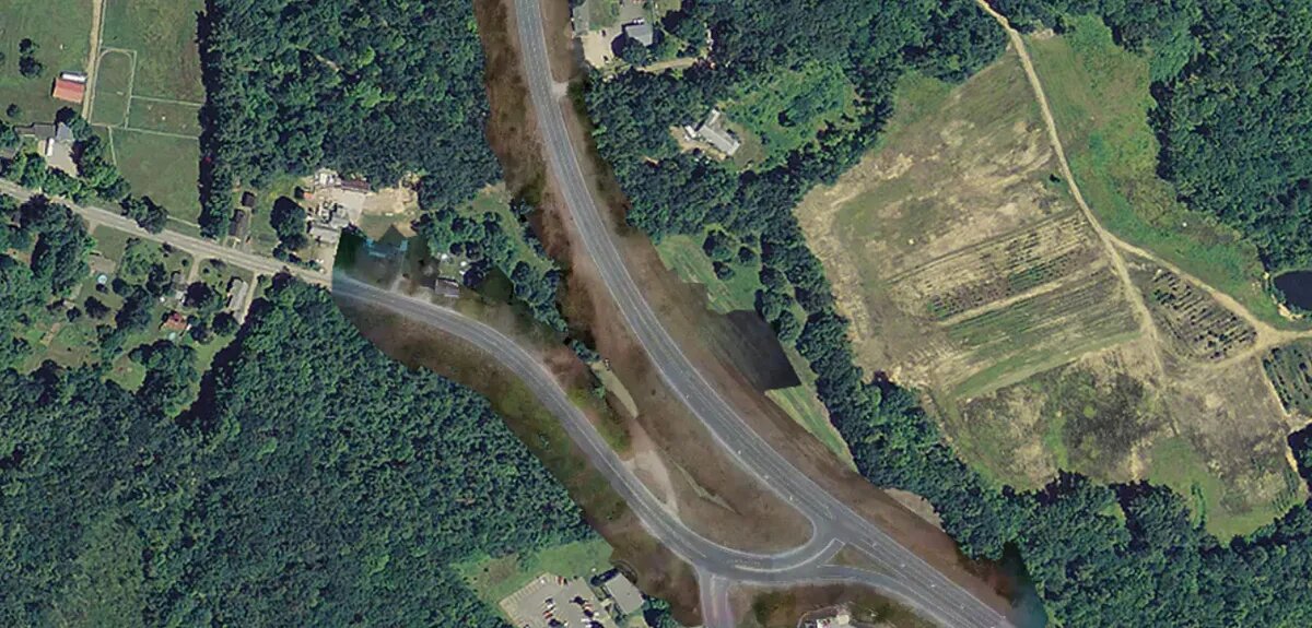
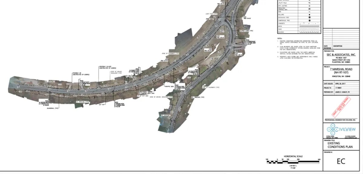
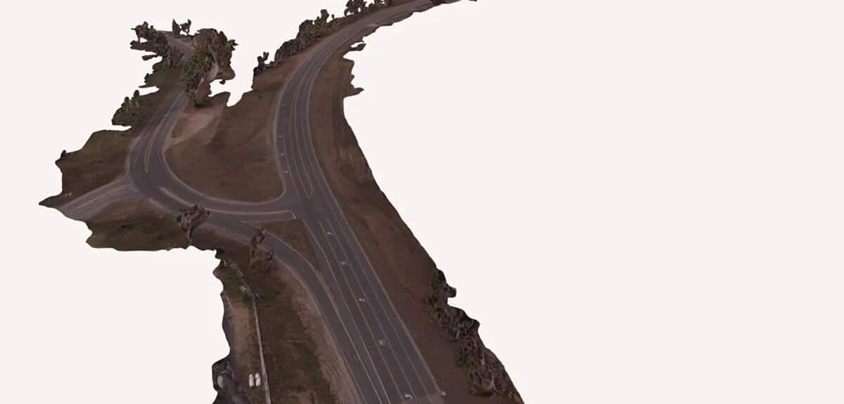
Collecting survey data in a busy road is never easy. For traditional field crews, the work can be time consuming and dangerous. Using a drone can greatly expedite the process and provide valuable (and accurate) data to minimize or eliminate the need for people on the ground. The Marshall Road project involved about a 3,500-feet of roadway adjacent to a private development. Between setting ground control and flying the corridor, our pilot was onsite for only a few hours, collecting enough data to accurately develop topography, utility locations, and paint markings. The work was done carefully to comply with all FAA regulations and yielded impressive results.