Land
ACCURATE LAND SURVEYING RESULTS.
At CDCI, we utilize the latest in land survey
GPS technology to provide our clients with timely and accurate land surveying results. Every project starts with thorough research to ensure that, when we do enter the field, all work is done to exceed expectations. Just like our civil engineering group, our land survey team has worked with homeowners, developers, realtors, consultants, and State and local agencies. Whether it be boundary delineation, site topography, or construction layout, CDCI can meet your surveying needs.
Our survey staff is licensed in Massachusetts and well versed at providing these services:
- Property Line Survey
- Site Topography – (Both on the ground and through the air)
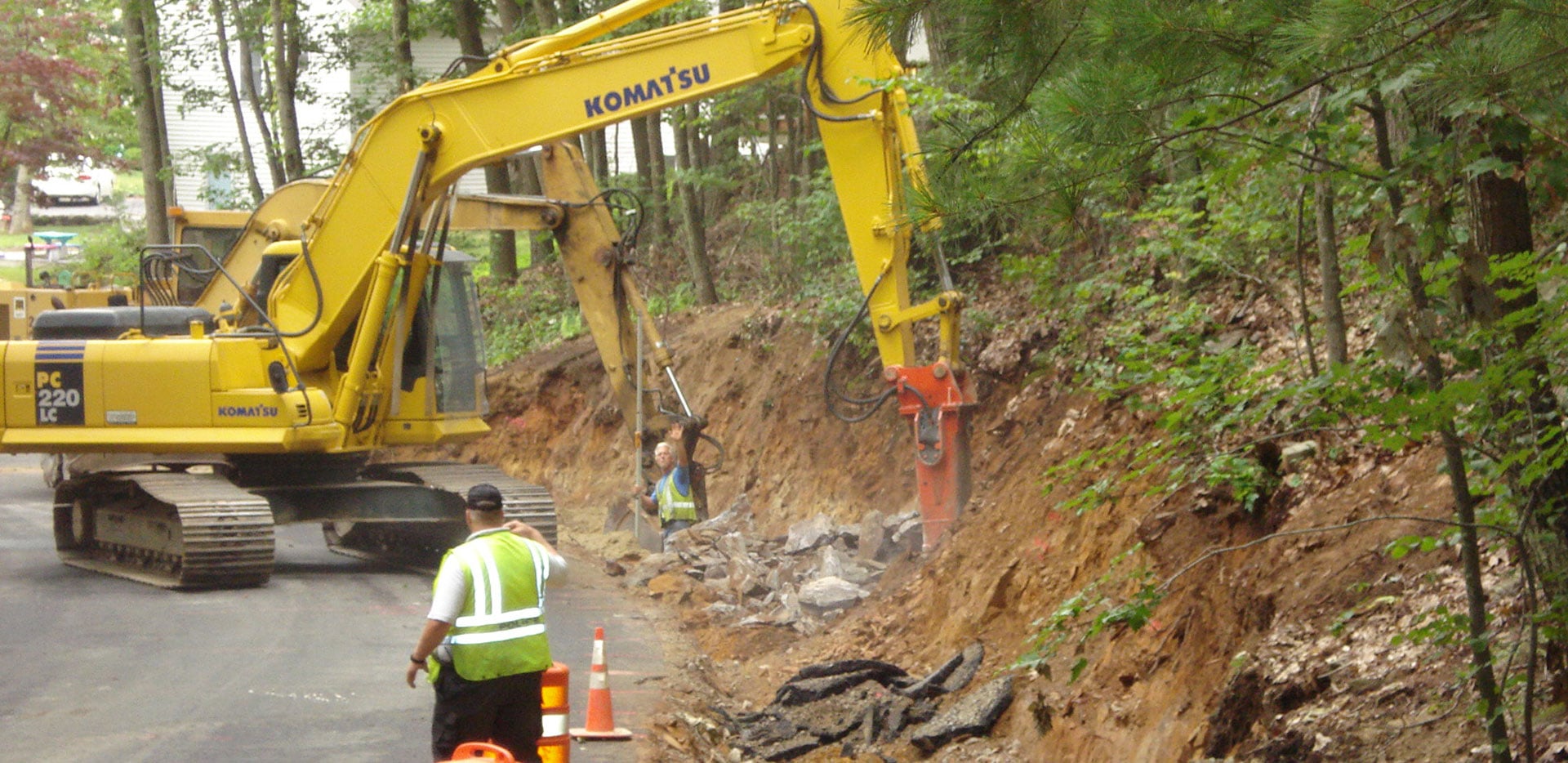
- Construction Layout
- ALTA/ACSM Land Title Survey
- FEMA Flood Certificate Survey

How It Woks At CDCI
Learn more about how our survey division can help you with our Survey FAQ.
|
|

Collaboration With Other Consultants
CDCI has forged relationships with many consulting firms in the engineering field and worked with them to not only deliver accurate results, but also provide them with the CAD standards they use. This type of service reduces the upfront time necessary to turn field data into a workable product and shortens the time necessary to get a deliverable in the hands of the client.
Every land surveying project brings its own set of challenges, but at CDCI we have both the expertise and technology to deliver high-quality and precise answers to even the most complex challenges. Our mission is to effectively execute each project, starting with sound due diligence and backed by detailed field measurements.
Registration:
CDCI is licensed and registered to practice Professional Land Surveying in Massachusetts.
Property Line Delineation:
- Deed and Plan Research
- Permanent Monumentation
- Certified Plot Plans
Existing Conditions:
- Topographic Survey
- Utility Survey
- Wetland Flag Locations
- GPS Locations
Construction Layout:
- Roadway Layout
- Utility Locations/Elevations
- Building Corners
- Foundation Certifications
ALTA/ACSM Land Title Survey:
- Boundary Delineation
- Monument Location
- Rights of Ways and Access
- Easements
- Cemeteries
- Water Features
- Plan Preparation
Fema Flood Certificates:
- Field Survey
- Preparation of FEMA Forms


