Mt. Higby Dam – Middletown, CT

Mt. Higby Dam – Middletown, CT

Mt. Higby Dam – Middletown, CT Drone survey to create a site features and topographic plan. High Resolution Orthomosaic 3D Model Existing Conditions Plan with Orthophoto Existing Conditions Plan With an aerial survey area of over 25-acres, the Mt. Higby Dam project...
Clapp School – Woburn, MA

Clapp School – Woburn, MA

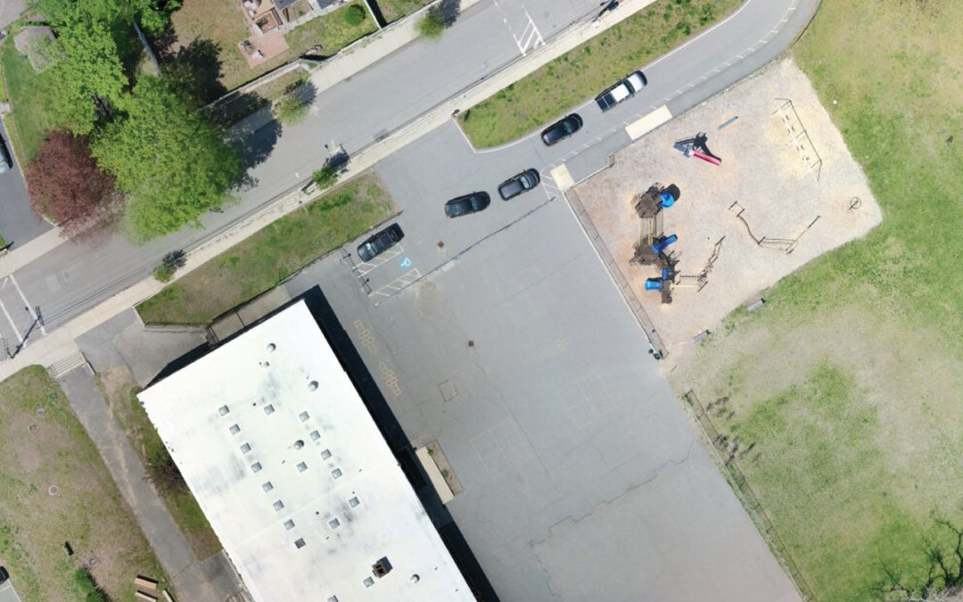
Clapp School – Woburn, MA Drone aerial survey for an existing conditions plan and GIS integration. High Resolution Orthomosaic 3D Model Existing Conditions Plan with Orthophoto Existing Conditions Plan The City of Woburn has a long standing relationship with municipal...
Adder Dam – Middletown, CT

Adder Dam – Middletown, CT

Adder Dam – Middletown, CT Drone survey to create a site features and topographic plan. High Resolution Orthomosaic 3D Model Existing Conditions Plan with Orthophoto Existing Conditions Plan CivilView teamed with Tata & Howard to collect aerial site feature and...