by Kristine Golden | Oct 11, 2021
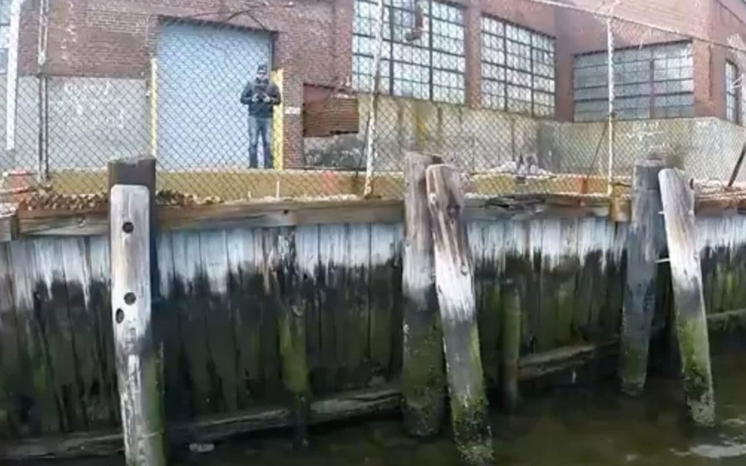
Bulkhead Inspection – Acushnet River Drone Inspection Videography Sometimes a drone is the only way to get the best information. Dams, bridges, and abutments are all challenging for crews to inspect. In this case, our drones were deployed to inspect a bulkhead on the...
by Kristine Golden | Oct 11, 2021
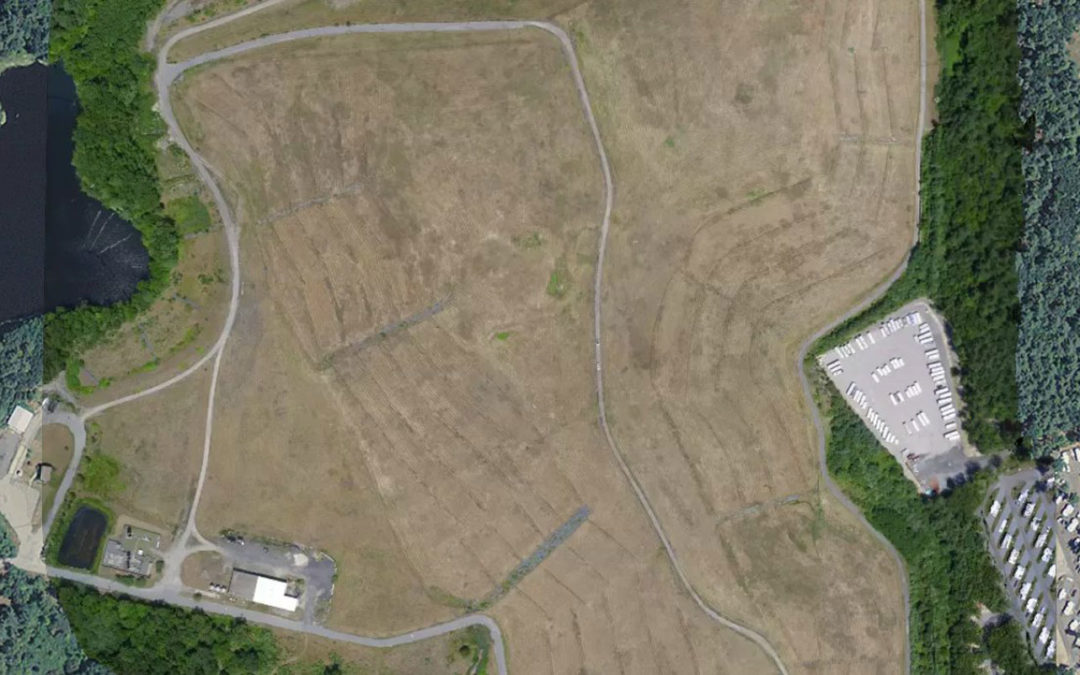
Belcher Street Landfill – Plainville, MA Drone survey to create a site features and topographic plan. Existing Conditions Plan with Orthomosaic High Resolution Orthomosaic 3D Model Capped landfills can be perfect locations for renewable energy projects. Large in size...
by Kristine Golden | Oct 11, 2021
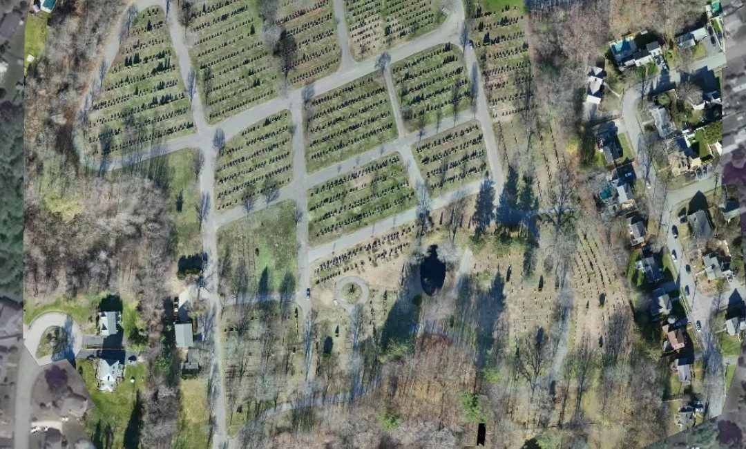
Forest Glade Cemetery – Wakefield, MA Drone survey for site features, topography, and 3D visualization. High Resolution Orthomosaic One of the biggest advantages of CivilView’s aerial imaging is the ability to create orthomosaics with unmatched resolution. Such a...
by Kristine Golden | Oct 11, 2021
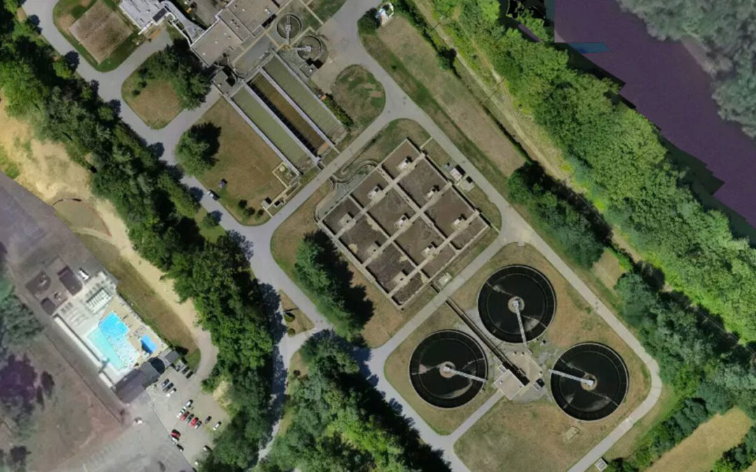
Haverhill Waste Water Treatment Facility – Haverhill, MA Drone survey for site features, topography, and 3D visualization. High Resolution Orthomosaic 3D Model The City of Haverhill is eyeing short and long term improvements at its wastewater treatment facility....
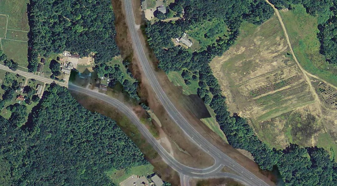
by Kristine Golden | Oct 11, 2021
Marshall Road (Route 107) – Kingston, NH Drone survey for site features, topography, and 3D visualization. High Resolution Orthomosaic Existing Conditions Plan with Orthophoto 3D Model Collecting survey data in a busy road is never easy. For traditional field crews,...
